Maps
Tired of rows and columns telling you nothing about where your assets are? Spreadsheets may have been the only game in town once, but there’s a much better way to manage your assets: visual asset tracking with maps.
Spreadsheets can track data, but they lack a crucial element — location. Imagine trying to navigate a new city with only a list of street names and no visuals. Spreadsheets leave you with the same frustration when it comes to asset management. You know you have a forklift, but where is it parked in that massive warehouse?
iSeeWhere's Map View
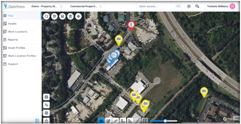
See the Bigger Picture with Maps
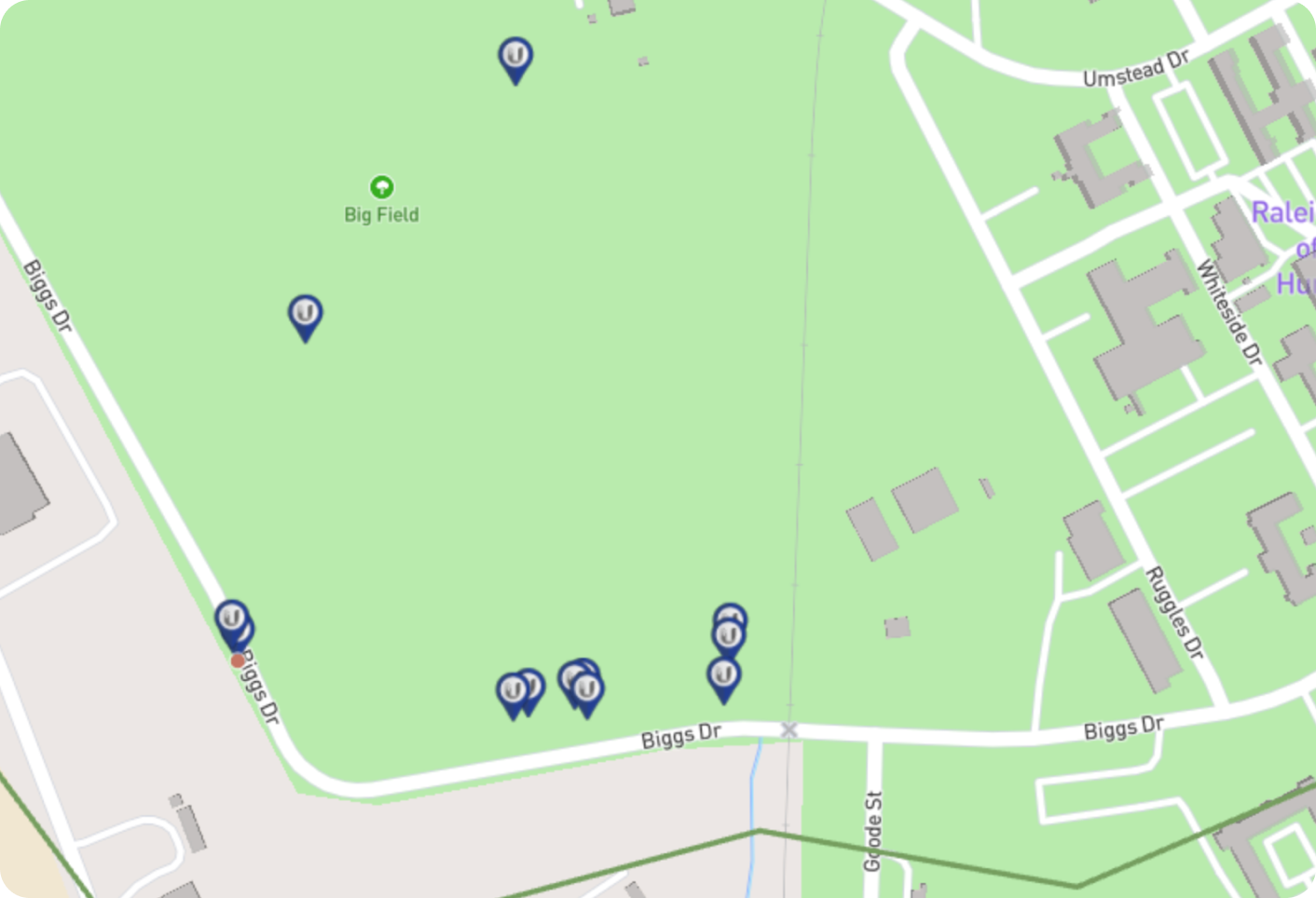
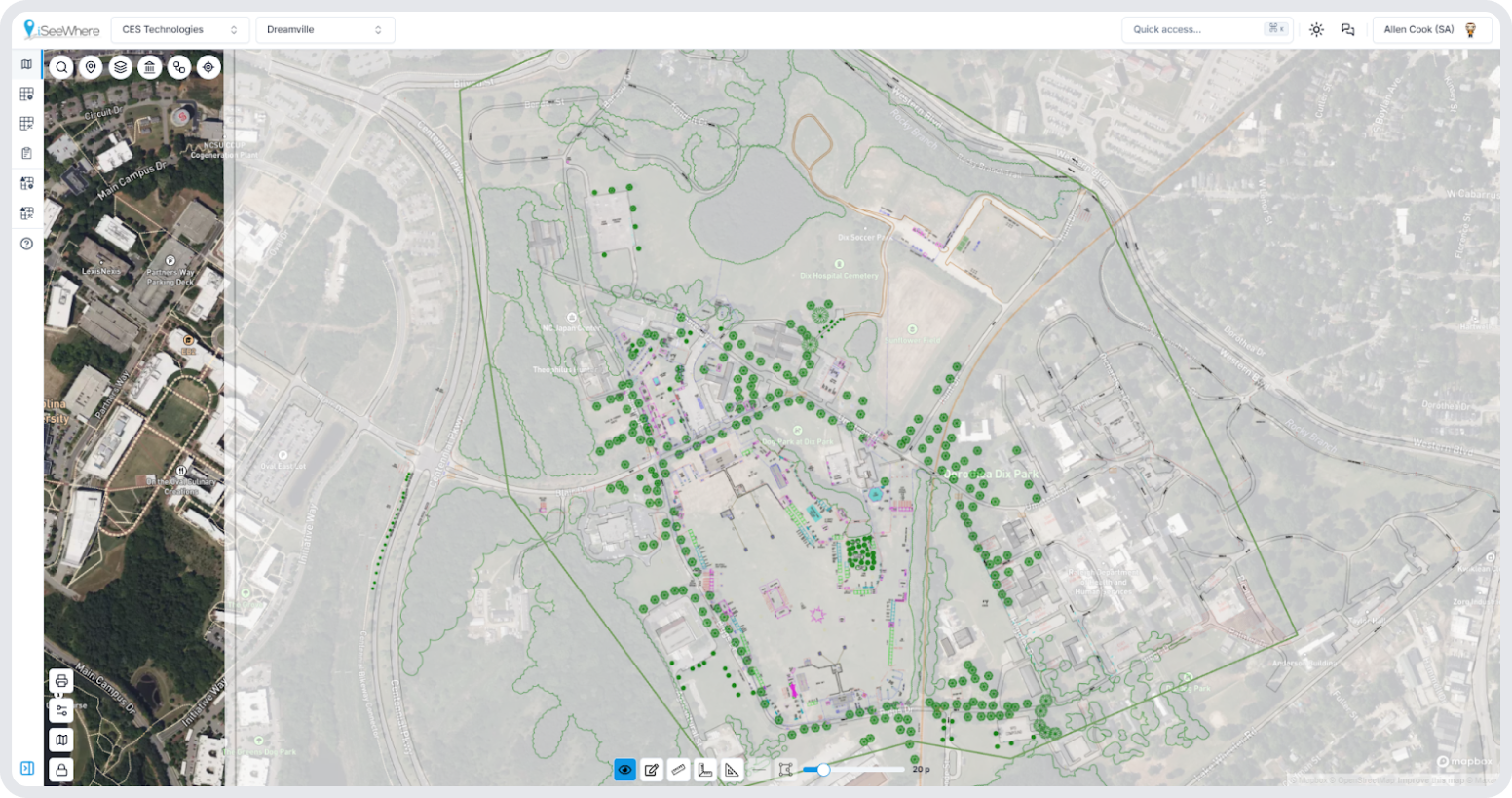
Maps are the foundation of a smarter asset tracking system. They provide a clear visual representation of your assets’ locations, giving you instant context and a broader understanding of your entire asset ecosystem.
iSeeWhere’s Maps feature takes asset tracking to the next level. Here’s what you get:
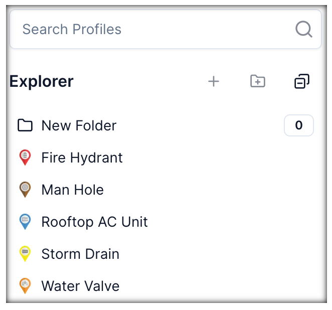
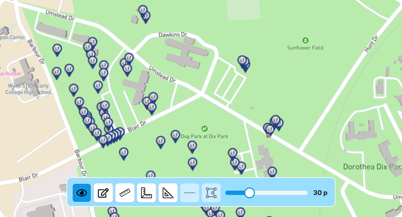
Customizable Map Views
Zoom in, zoom out, and personalize your map view to focus on specific areas or asset types.
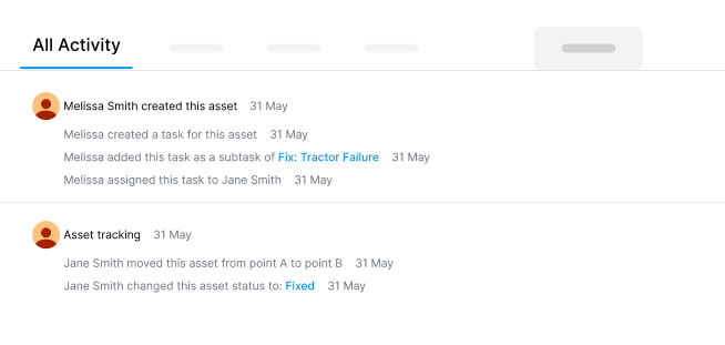
Historical Tracking
See where your assets have been — and how they’ve moved over time. Identify patterns, optimize routes, and verify everything’s where it’s supposed to be.
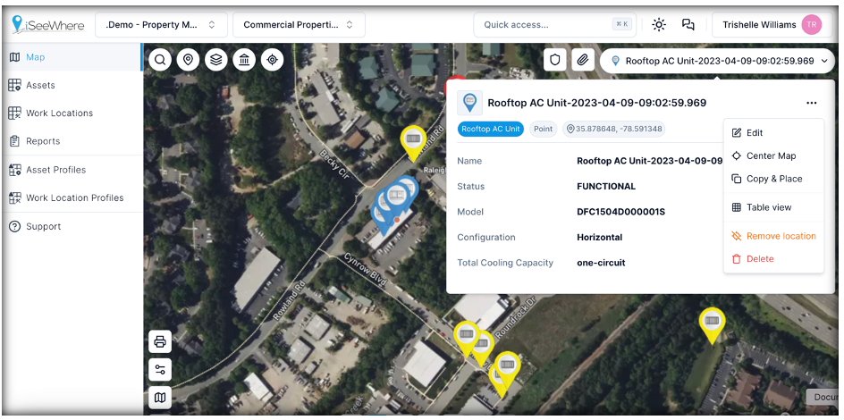
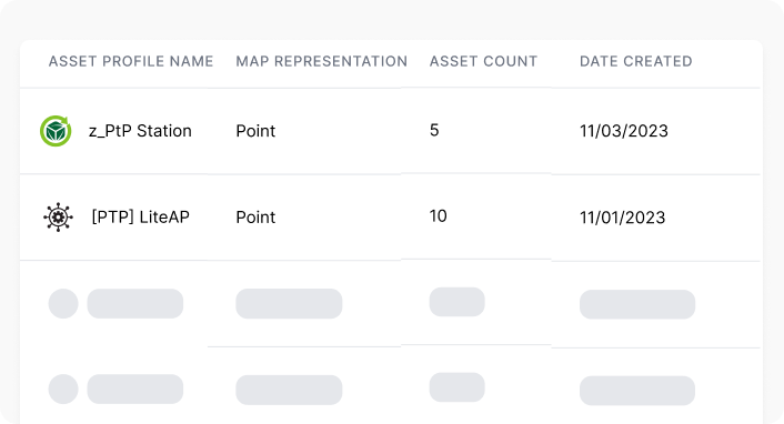
Asset Information Overlay
Enrich your map view with crucial asset data like service history, maintenance schedules, and performance metrics, all connected to your assets’ physical locations.
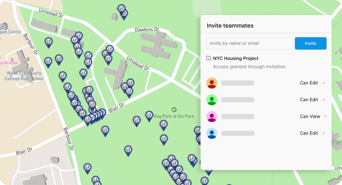
Collaborative Tools
Share your map view with colleagues so teams can work together in real-time to make informed decisions.
Reports & Analytics
Access valuable insights into asset utilization, potential risks, and areas of opportunity or improvement.
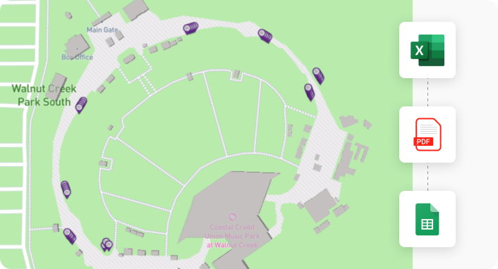
Integration & Compatibility
iSeeWhere’s maps offer seamless integration with your existing tools and data. Easily connect and import data from spreadsheet, PDFs, and Google Sheets.
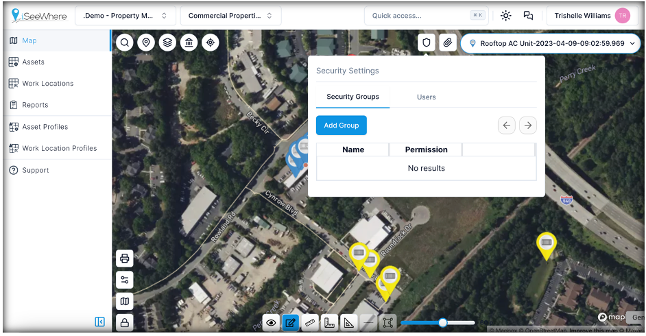
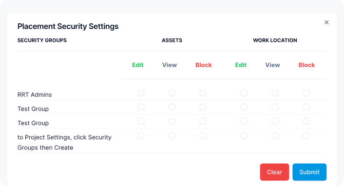
Security & Privacy
iSeeWhere’s maps are locked down tightly to protect your data and allow you to maintain complete control over it.
Maps are the Key to Unlocking the Potential of Your Assets
Remember our visit to a new city? You might not be able to speak the language, but a map helps you get from point A to point B. Why? Because maps provide a visual language that anyone can understand. By using iSeeWhere’s maps, you can:
Optimize operations
Plan routes more efficiently, track asset movement in real-time, and get your assets to the right place at the right time.
Improve security
Have real-time visibility of your assets, deter theft, and quickly locate missing equipment.
Reduce costs
Minimize wasted time searching for assets, optimize maintenance schedules, and extend asset lifespans.
Stop being confined and encumbered by spreadsheets. Embrace the power of maps and see your assets in a whole new — and brighter — light. Contact us to learn more.